Maps
Understanding the landscape and green spaces where landscape work happens.
Orientation — what this is
The towns and neighborhoods of Massachusetts contain thousands of landscapes—from formal gardens to wild edges, from managed meadows to mature woodlands. A map tells you where things are. A good one tells you why they matter. The Registry uses maps to understand the land and people that landscape work touches.
Every patch of earth has a story worth knowing before it is changed.
This page covers the basics of reading landscape maps, understanding what the lines and colors tell you, and using that knowledge to talk with contractors about the place you want to protect or improve.
How to use it
Maps show three kinds of information that matter to landscape work: the shape of the land (hills, valleys, slopes), the cover already there (trees, water, lawn, pavement), and the boundaries (property lines, town lines, conservation land). A contractor who reads maps before arriving on site understands what they will face and plans accordingly.
Topographic maps show elevation through contour lines. Closer lines mean steeper slopes. If your land is steep or has poor drainage, a good contractor will know that before they quote a price. They can tell you whether a slope will erode after work, whether water will pool in corners, or whether machinery can reach everywhere you need it.
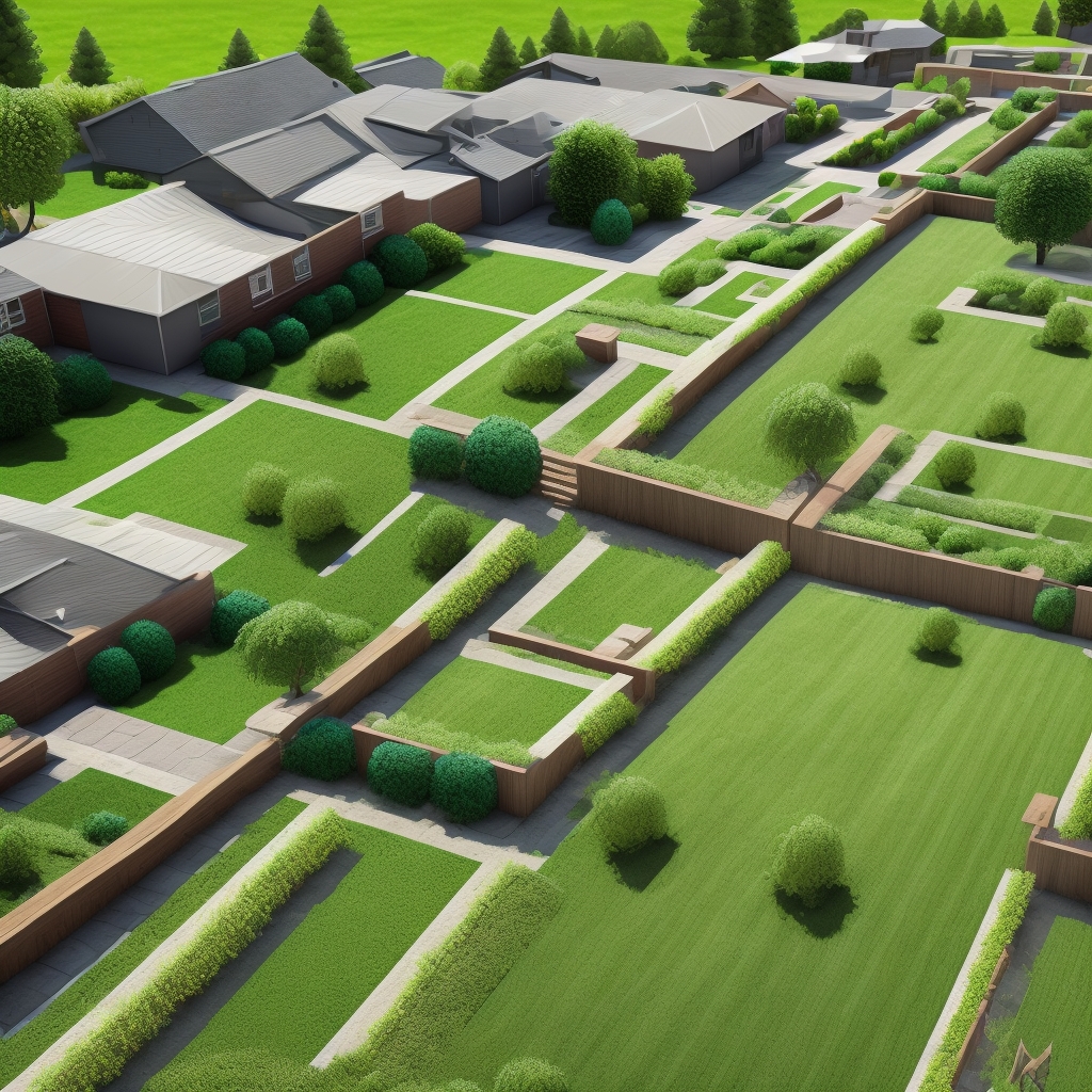
Aerial maps and satellite images show what is there now. Trees are green, lawn is bright, water is blue, and hard surfaces are grey or tan. Before landscaping, look at three or four years of satellite images if you can. Do areas stay wet through summer, or dry up? Where does water run during heavy rain? Does sun reach where you think it does? Maps answer these questions before the first shovel arrives.
The reference table
Free mapping tools are everywhere. Google Maps and Google Earth show satellite images and simple layers. MassGIS (the state mapping service) offers detailed topographic maps, land-use maps, wetlands, conservation areas, and property lines for Massachusetts. Town assessor websites often let you pull property maps that show your boundary and neighbors' boundaries. USGS topographic maps date back decades and let you see how land has changed. All of these are accessible from any browser on a phone or computer.
Mapped routes and green spaces are most useful when they lead somewhere that is cared for, from meadow edges to woodland paths. For the detail on where to walk and what is on offer near home, see Mass Audubon's Places to Explore, which covers its wildlife sanctuaries and trails across Massachusetts. Combining private landscape work with public green space creates neighborhoods people want to live in and visit.
The key figures